
Nozawa Snow Report 22 January 2017: Stats
Base at top: 300 cm
Temp at Top: -6 Degree
Base at Uenotaira station: 215 cm
New snow since close: 0 cm
Weather: Clear
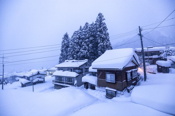
View from the toilet, Nozawa Onsen.
Nozawa Snow Report 22 January 2017: Overview
Snowfalls eased overnight as the wind swung around to the SW and as a result we have no significant increase in coverage since first lifts yesterday. Right now out the window its partly cloudy with occasional breaks of sunshine, its going to be a mostly fine day on the hill. Make sure you bring the camera up with some luck you may capture to Sea of Japan, potentially visible to the West (look back towards the lifts from the top of Yamabiko). The best skiing will be at Yamabiko early with fine quality on and off piste. When this becomes tracked the mid station lifts will be the next port of call for some fun intermediate level powder runs through the trees. This area is great for avoiding the weekend crowds with a double and triple chair running. For more advanced riders the skyline blacks will be worth a look all though be wary of the glide crack that has formed on Grandprix.
Yesterday we saw strong winds ease into the afternoon and as the clouds gradually lifted it revealed some fresh wind lips and other features created by the shifting snow. In the absence of any sun the snow remained in top shape with knee deep powder that fell throughout the day across the resort. From first to last lifts an additional 20cm collected from top to bottom. Foul weather seemed to keep the crowds at bay that would otherwise would have been substantial. Stability at the moment is very low with numerous wind driven slab avalanches across the slopes. Glide cracks are also beginning to open up thanks to last weeks heavy falls. As per usual, do not duck ropes; especially those with inflated egos. You may find yourself in trouble very quickly.
Nozawa Snow Report 22 January 2017: Forecast
Analysing the forecast we can expect about 3 days of cold Siberian flow from Sunday night until at some point on Wednesday. This should produce consistent falls of excellent quality powder snow perhaps totalling between 20-30cm per day. The heaviest falls look to occur on Sunday night and Tuesday which will be accompanied by moderate NW winds. Thursday looks like it will be clear but remain very cold. On Friday we expect temperatures to warm. Im not too certain on how the weather patterns will fall from Friday onwards. At this stage its looking extremely variable with a soupy mix of high and low pressure.
The Nozawa Onsen Snow Report is presented & supported by Nozawa Holidays and The Daily Flake