Nozawa Onsen Snow Report
Base up top: 310cm Temp Top; -2 Degrees
Base at bottom: 165cm
New Snow since close: 0cm
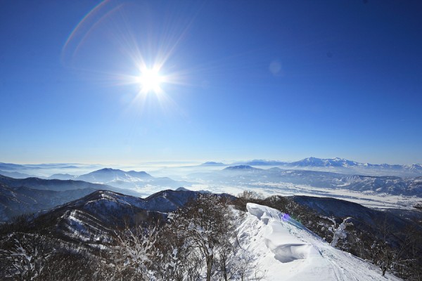
Another stunner in Nozawa Onsen this morning. Brilliant atmosphere clarity is delivering spectacular views with a totally cloudless blue sky. Highly recommended too make the effort bringing the cameras up the mountain this morning.
The groomed runs will be fast early with the cold overnight temperatures, probably grading to fun and slushy later. Off piste conditions should be quite variable; depending on sun exposure. We are expecting quite warm temperatures well into the positives, even at the top, so a classic spring like day is expected. Clear conditions will persist for the morning at least before bands of high cloud move over during the afternoon.
Yesterday was one of the clearest days of the season so far. The Sea of Japan was easily visible with even Sado Island spotted offshore from the summit of Nozawa. It’s not too often that we experience such visibility.
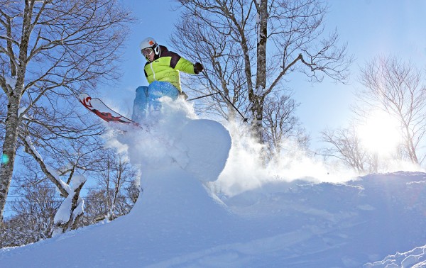
Riding yesterday was also fun. Down low became heavy going and slushy during the afternoon thanks to warm temperatures. Up high the snow had a chalky consistency, excellent for throwing some spray. Off piste had nice snow in the shaded gullies but sun exposed areas became difficult and highly variable as the day wore on. Crowds were not an issue.
The forecast has slightly improved since yesterday, still not great however. From late tonight and tomorrow morning we should see rain. Weather models predict a strong high pressure system sitting SE of Japan will interact with a developing low to draw up warm SSW airflow from the tropics. Tonight temperatures will continue to increase till 3am and then remain at about 2000-2400m until mid morning tomorrow. We should then see a gradual cooling trending with rain turning to snow around Saturday evening.
Snow is possible on Sunday before a fast moving but less intense warm front passes through of Monday. Following that we should expect cool temperatures and possible snow.


