Base up top: 390 cm Temp Top; -10 Degrees
Base at bottom; 235 cm
New Snow since close: 10-20 cm
Weather; Some clouds
Today is going to be a good day. After some extremely strong winds and snow last night the intense conditions have eased during the early hours producing a mostly overcast morning with the occasional blue sky patch. Accumulated totals since last lifts have amounted to approximately 10-20cm of windblown snow. We may see possible additions to this throughout the day with the occasional flurry predicted. Avalanche conditions remain extremely hazardous.
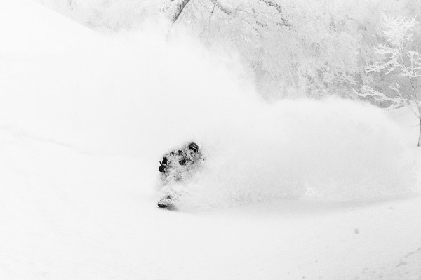
Yesterday saw a blizzard rage for a large proportion of the day. The skiing and boarding was excellent provided the right spot was selected. One well hidden from the breeze such as the dense tree areas and lower groomed runs as such.
A slightly improved forecast is predicted for the coming days. More snow is suggested for tomorrow, around 10-15cm throughout the day and night receding to variable weather with a few light flurries on Tuesday and Wednesday. Fairly strong snowfalls are predicted for Thursday, heaviest overnight.


