Nozawa Snow Report 3 March 2017: Stats
Base at top: 370 cm
Temp at Top: -5 Degree
Base at Uenotaira station: 275 cm
New snow since close: 20 cm
Weather: Snow
Nozawa Snow Report 3 March 2017: Overview
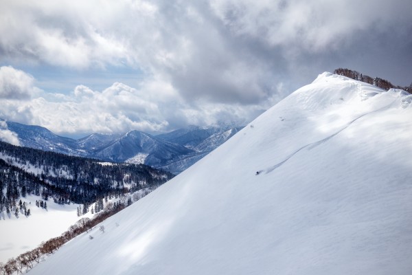
A good overnight dump of snow has affected Nozawa Onsen with 20cm accumulating at upper elevations since last lifts, more than expected. Out the window right now there are some huge flakes continuing to fall with mostly cloudy skies and occasional gusts of wind. The snow will be wet and heavy at the lower elevations however up high we should notice much better quality. Therefore it can be expected that the best skiing and boarding will be had on the upper half of the mountain for today. Snowfalls are expected to continue for the rest of the day.
Yesterday was a fun days skiing especially on the lower mountain. The snow was firm up high and slushy yet fast across the lower half. Skyline was especially fun top to bottom and offered a nice appreciation as to how the snow can vary across altitudes. As usual for the spring season the crowds were so non-existent that it felt like skiing in a private resort of some kind.
Nozawa Snow Report 3 March 2017: Forecast
After todays snowfalls the skies will clear and it’ll be mostly sunny tomorrow with light winds. Sunday will be a little warmer with clouds building during the day. By Monday afternoon more snowfalls will set in and these will continue for much of the week, probably producing an excellent period of almost mid winter like conditions.
The Nozawa Onsen Snow Report is presented & supported by Nozawa Holidays and The Daily Flake


